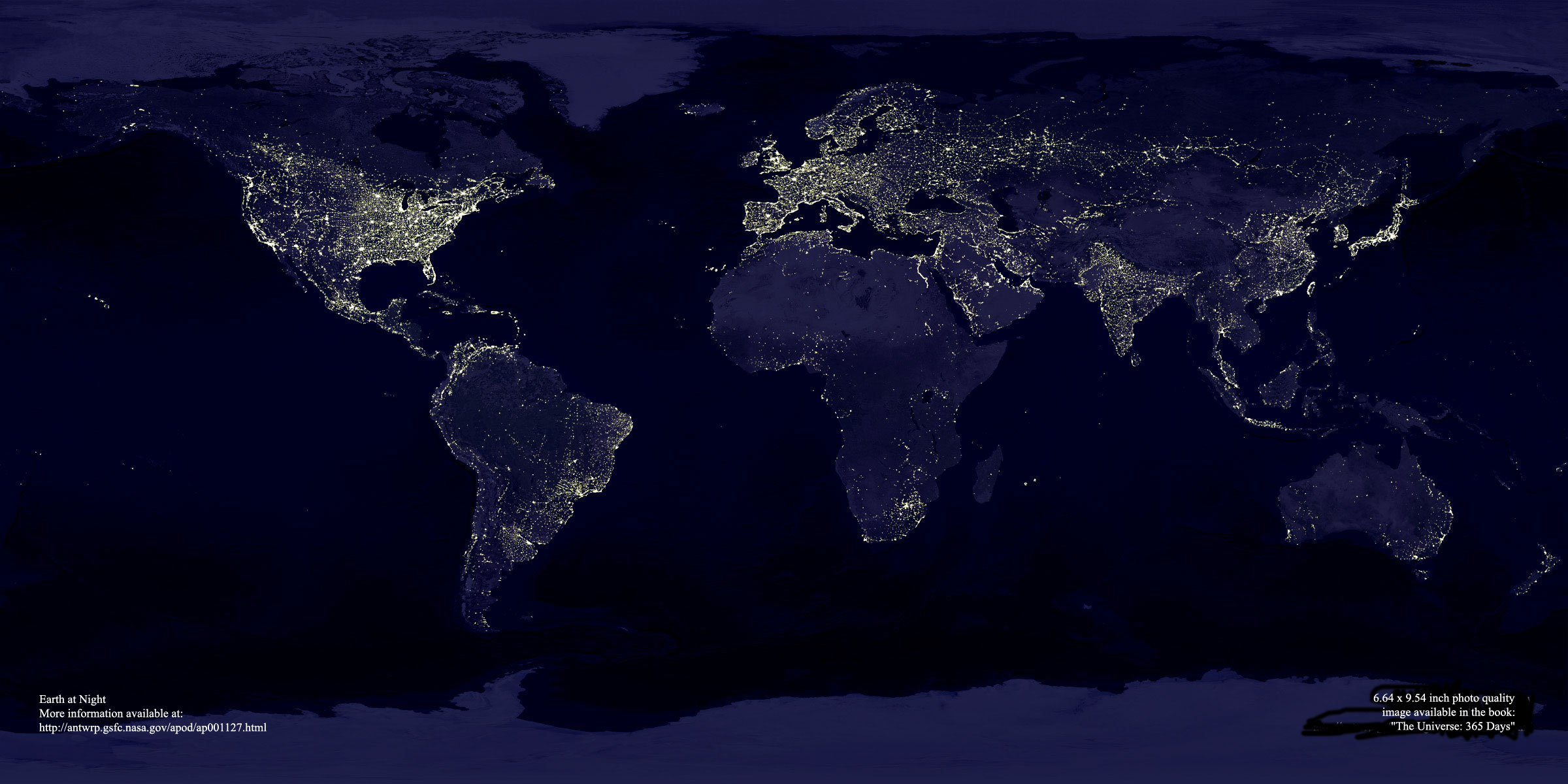
If you want to see a truly stunning aerial night shot of the Earth by its own lights, click on the first link below. This image was created with data from NASA's Defense Meteorological Satellite Program. Originally designed to view clouds by moonlight, it's also used to map the locations of permanent lights on the Earth's surface. I was able to store this on my computer as a .jpg file which shows the entire photo on my screen at one time, though smaller.
You can scroll your browser East-West and North-South for different views, and it's interesting to note where the densities of population are concentrated. The accompanying text points out the contrast between North and South Korea, the TransSiberian Rail route, and Perth as a bright island in the Australian outback (which must have been an incredible sight when they switched on every light in the city to greet the astronaut John Glenn as he orbited past).
This image is even more striking if you look at it in a darkened room. I keep having to remind myself that it's a real-life shot and not an artist's impression.
The second link will take you to a whole gallery of NASA aerial/astronomical photographs, one for each day of the year since mid-1995 (the "Earthlight" one is for November 27, 2000).
And if you still don't believe global warming is a real threat, check out the entry for February 12, 2002 titled "Methane Earth". It's utterly chilling.
Hope you enjoy this site as much I do – Bonnie
Night Image of the Earth:
http://antwrp.gsfc.nasa.gov/apod/image/0011/earthlights_dmsp_big.jpg
Archive of NASA space photos:
http://antwrp.gsfc.nasa.gov/apod/archivepix.html